
El Topón topographic map
Interactive map
Click on the map to display elevation.
About this map
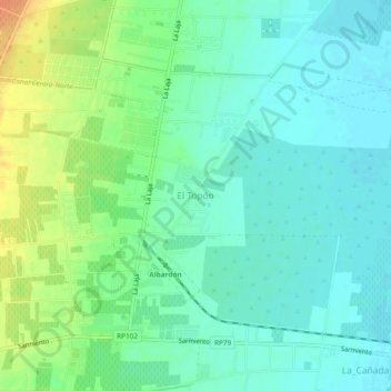
Name: El Topón topographic map, elevation, terrain.
Location: El Topón, Albardón, San Juan, Argentine (-31.44391 -68.50901 -31.40391 -68.46901)
Average elevation: 2,031 ft
Minimum elevation: 1,991 ft
Maximum elevation: 2,116 ft
Other topographic maps
Click on a map to view its topography, its elevation and its terrain.
Laguna Grande de Arena
Laguna Grande de Arena, Calingasta, San Juan, Argentine
Average elevation: 10,561 ft