
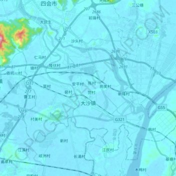
大沙镇 topographic map
Interactive map
Click on the map to display elevation.
About this map
Name: 大沙镇 topographic map, elevation, terrain.
Location: 大沙镇, 四会市, 肇庆市, 广东省, 中国 (23.20307 112.68935 23.31845 112.84339)
Average elevation: 39 ft
Minimum elevation: -16 ft
Maximum elevation: 1,240 ft
Other topographic maps
Click on a map to view its topography, its elevation and its terrain.