
Thank you for supporting this site ❤️
Make a donation
Make a donation
Gear up for your next adventure:
As an Amazon Associate, this site earns from qualifying purchases at no extra cost to you.
Mandin topographic map
Click on the map to display elevation.
Thank you for supporting this site ❤️
Make a donation
Make a donation
Gear up for your next adventure:
As an Amazon Associate, this site earns from qualifying purchases at no extra cost to you.
About this map
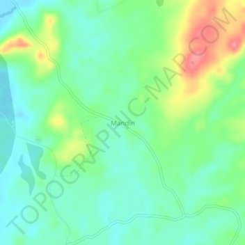
Name: Mandin topographic map, elevation, terrain.
Location: Mandin, Kotabaru, South Kalimantan, Kalimantan, Indonesia (-3.53661 116.34840 -3.49661 116.38840)
Average elevation: 92 ft
Minimum elevation: -13 ft
Maximum elevation: 279 ft
Thank you for supporting this site ❤️
Make a donation
Make a donation
Gear up for your next adventure:
As an Amazon Associate, this site earns from qualifying purchases at no extra cost to you.