Geolocate

Moretti topographic map

Click on the map to display elevation.

About this map
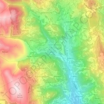
Name: Moretti topographic map, elevation, terrain.

Location: Moretti, Vestenanova, Verona, Veneto, 37030, Italy (45.53324 11.19870 45.57324 11.23870)

Average elevation: 1,631 ft

Minimum elevation: 705 ft

Maximum elevation: 2,677 ft

Gear up for your next adventure:

🧤Tactile Hiking Gloves - Keep hands warm while operating GPS and smartphone screens
🧣Merino Neck Gaiters - Multi-functional headwear for wind and sun protection
🪶Thermal Camp Blanket - Extra warmth for cold nights
📦Gear Storage Bags - Organize and protect outdoor equipment
🌎3D Topographic Globes - Raised relief globes for a tactile understanding of geography

As an Amazon Associate, this site earns from qualifying purchases at no extra cost to you.