
Changuil topographic map
Click on the map to display elevation.
About this map
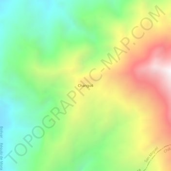
Name: Changuil topographic map, elevation, terrain.
Location: Changuil, Régulo de Mora, San Miguel, Bolívar, Ecuador (-1.90675 -79.24565 -1.86675 -79.20565)
Average elevation: 3,465 ft
Minimum elevation: 1,407 ft
Maximum elevation: 6,460 ft