
Ename topographic map
Interactive map
Click on the map to display elevation.
About this map
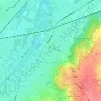
Name: Ename topographic map, elevation, terrain.
Location: Ename, Audenarde, Flandre orientale, Belgique (50.84471 3.61634 50.86324 3.64501)
Average elevation: 82 ft
Minimum elevation: -7 ft
Maximum elevation: 266 ft