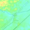
Rupit topographic map
Click on the map to display elevation.
About this map

Name: Rupit topographic map, elevation, terrain.
Location: Rupit, Musi Rawas Utara, South Sumatra, Indonesia (-2.84925 102.66297 -2.62782 102.94543)
Average elevation: 187 ft
Minimum elevation: 79 ft
Maximum elevation: 686 ft
Other topographic maps
Click on a map to view its topography, its elevation and its terrain.