Geolocate

Virginia City topographic map

Click on the map to display elevation.

About this map

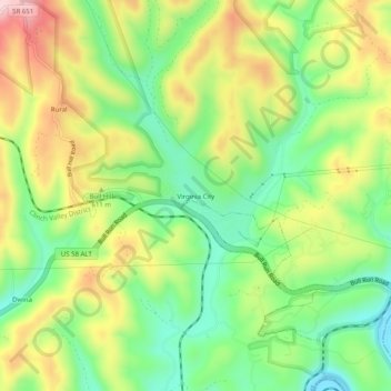
Name: Virginia City topographic map, elevation, terrain.

Location: Virginia City, Wise County, Virginia, 24283, United States (36.89844 -82.36487 36.93844 -82.32487)

Average elevation: 1,844 ft

Minimum elevation: 1,440 ft

Maximum elevation: 2,392 ft

Wise County trails, hiking, mountain biking, running and outdoor activities

Gear up for your next adventure:

🎒Hydration Pack - Hands‑free water reservoir for long hikes
📚Navigation Handbooks - Master the art of reading topographic maps and using a compass
🛠️Backpacking Tool Kit - Essential toolkit for outdoor repairs
🔊Portable Camp Speaker - Music and alerts at camp
🎒Day Hiking Backpack - Lightweight backpack perfect for day trips and outdoor adventures

As an Amazon Associate, this site earns from qualifying purchases at no extra cost to you.