
Chalaco topographic map
Click on the map to display elevation.
About this map
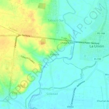
Name: Chalaco topographic map, elevation, terrain.
Location: Chalaco, Vice, Sechura, Piura, Perú (-5.42745 -80.77954 -5.38745 -80.73954)
Average elevation: 66 ft
Minimum elevation: 33 ft
Maximum elevation: 121 ft