
Brant Lake topographic map
Interactive map
Click on the map to display elevation.
About this map
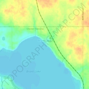
Name: Brant Lake topographic map, elevation, terrain.
Average elevation: 1,631 ft
Minimum elevation: 1,588 ft
Maximum elevation: 1,696 ft
Other topographic maps
Click on a map to view its topography, its elevation and its terrain.
Madison
United States > South Dakota > Lake County
Madison, Lakeview Township, Lake County, South Dakota, United States
Average elevation: 1,693 ft
Chester
United States > South Dakota > Lake County
Chester, Lake County, South Dakota, 57016, United States
Average elevation: 1,604 ft
Winfred
United States > South Dakota > Lake County
Winfred, Winfred Township, Lake County, South Dakota, 57076, United States
Average elevation: 1,699 ft