Geolocate

Gangoli topographic map

Click on the map to display elevation.

About this map

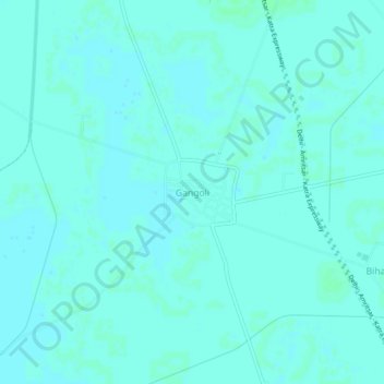
Name: Gangoli topographic map, elevation, terrain.

Location: Gangoli, Phillukhera, Jind District, Haryana, 126113, India (29.28115 76.50544 29.32115 76.54544)

Average elevation: 755 ft

Minimum elevation: 748 ft

Maximum elevation: 761 ft

Gear up for your next adventure:

👓Polarized Sunglasses - Outdoor sunglasses for glare reduction
🌄Hiking Binoculars - Compact binoculars for scenic views and trail spotting
🎒Trekking Poles - Sturdy poles for balance and stability on rough terrain
🛡️Insect Repellent - Protection against bugs during outdoor activities
🧭Pro Hiking Compasses - High-accuracy liquid-filled compasses for topographic orientation

As an Amazon Associate, this site earns from qualifying purchases at no extra cost to you.