Geolocate

Norwalk topographic map

Click on the map to display elevation.

About this map

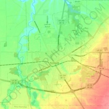
Name: Norwalk topographic map, elevation, terrain.

Location: Norwalk, Huron County, Ohio, 44857, United States (41.21821 -82.65921 41.27601 -82.55834)

Average elevation: 732 ft

Minimum elevation: 614 ft

Maximum elevation: 886 ft

Huron County trails, hiking, mountain biking, running and outdoor activities

Other topographic maps

Click on a map to view its topography, its elevation and its terrain.

Celeryville

United States > Ohio > Huron County

Average elevation: 938 ft

Clarksfield

United States > Ohio > Huron County

Average elevation: 902 ft

Havana

United States > Ohio > Huron County

Average elevation: 830 ft

Peru

United States > Ohio > Huron County

Average elevation: 810 ft

Gear up for your next adventure:

🧢Sun Protection Hats - Wide-brimmed and UPF-rated hats for high-altitude sun safety
🪶Thermal Camp Blanket - Extra warmth for cold nights
📷Action Cameras - Rugged cameras to document your journeys across rugged terrain
🦶Hiking Gaiters - Keep debris and water out of your boots
🛡️Insect Repellent - Protection against bugs during outdoor activities

As an Amazon Associate, this site earns from qualifying purchases at no extra cost to you.