Geolocate

Millport topographic map

Click on the map to display elevation.

About this map

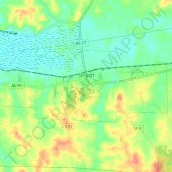
Name: Millport topographic map, elevation, terrain.

Location: Millport, Lamar County, Alabama, United States (33.54633 -88.12076 33.57253 -88.04605)

Average elevation: 308 ft

Minimum elevation: 223 ft

Maximum elevation: 453 ft

Lamar County trails, hiking, mountain biking, running and outdoor activities

Other topographic maps

Click on a map to view its topography, its elevation and its terrain.

Detroit

United States > Alabama > Lamar County

Average elevation: 397 ft

Kennedy

United States > Alabama > Lamar County

Average elevation: 377 ft

Beaverton

United States > Alabama > Lamar County

Average elevation: 449 ft

Vernon

United States > Alabama > Lamar County

Average elevation: 344 ft

Gear up for your next adventure:

🥩Freeze-Dried Meals - Nutritious and lightweight food for remote expeditions
🧺Microfiber Travel Towels - Compact and fast-drying towels for trail use
🧭Hiking Compass - Precision compass for reliable navigation in the wilderness
🗻Climbing Gear Basics - Essential gear for beginner climbers
🛶Inflatable Kayak - Portable kayak for rivers, lakes, and expeditions

As an Amazon Associate, this site earns from qualifying purchases at no extra cost to you.