
Center topographic map
Click on the map to display elevation.
About this map
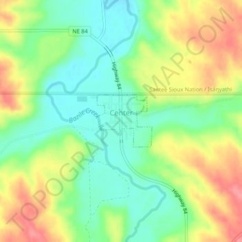
Name: Center topographic map, elevation, terrain.
Location: Center, Knox County, Nebraska, United States (42.60559 -97.88045 42.61145 -97.87208)
Average elevation: 1,480 ft
Minimum elevation: 1,362 ft
Maximum elevation: 1,637 ft
Knox County trails, hiking, mountain biking, running and outdoor activities
Other topographic maps
Click on a map to view its topography, its elevation and its terrain.
Bloomfield Trailer Court
United States > Nebraska > Knox County > Bloomfield
Average elevation: 1,739 ft