
Calleria topographic map
Click on the map to display elevation.
About this map
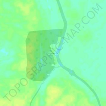
Name: Calleria topographic map, elevation, terrain.
Location: Calleria, Callería, Coronel Portillo, Ucayali, Perú (-8.09359 -74.57637 -8.05359 -74.53637)
Average elevation: 463 ft
Minimum elevation: 436 ft
Maximum elevation: 486 ft