Geolocate

Magtaquing topographic map

Click on the map to display elevation.

About this map

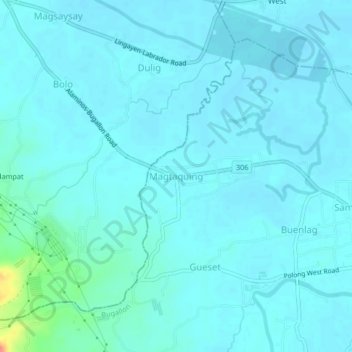
Name: Magtaquing topographic map, elevation, terrain.

Location: Magtaquing, Bugallon, Pangasinan, Ilocos Region, Philippines (15.96546 120.15666 16.00546 120.19666)

Average elevation: 33 ft

Minimum elevation: 10 ft

Maximum elevation: 203 ft

Gear up for your next adventure:

🌄Hiking Binoculars - Compact binoculars for scenic views and trail spotting
🌲Outdoor Survival Books - Best books on survival skills
🪶Trail Camera - Capture wildlife on your hikes
🎒Trekking Poles - Sturdy poles for balance and stability on rough terrain
🧢Outdoor Hiking Hat - Sun protection hat for outdoor explorers

As an Amazon Associate, this site earns from qualifying purchases at no extra cost to you.