Geolocate

Lagoa do Capim topographic map

Click on the map to display elevation.

About this map

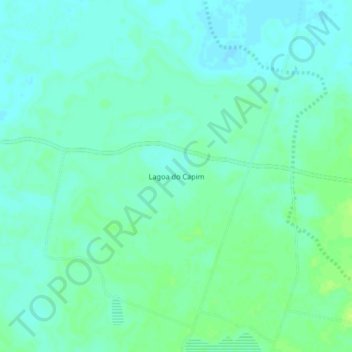
Name: Lagoa do Capim topographic map, elevation, terrain.

Location: Lagoa do Capim, Bom Jesus da Lapa, Região Geográfica Imediata de Bom Jesus da Lapa, Região Geográfica Intermediária de Guanambi, Bahia, Região Nordeste, Brasil (-13.34490 -43.23567 -13.30490 -43.19567)

Average elevation: 1,467 ft

Minimum elevation: 1,447 ft

Maximum elevation: 1,493 ft

Other topographic maps

Click on a map to view its topography, its elevation and its terrain.

Bairro Nova Brasília

Brasil > Bahia > Bom Jesus da Lapa

Average elevation: 1,407 ft

Gear up for your next adventure:

🧭Hiking Compass - Precision compass for reliable navigation in the wilderness
🎒Waterproof Dry Bags - Keep your electronics and maps dry inside your pack
🔦Compact Flashlight - Reliable flashlight for emergencies
🏥Hiking First Aid Kits - Comprehensive medical kits for remote trail injuries
📱Solar Portable Charger - Solar power bank for charging devices off‑grid

As an Amazon Associate, this site earns from qualifying purchases at no extra cost to you.