
Thank you for supporting this site ❤️
Make a donation
Make a donation
Gear up for your next adventure:
As an Amazon Associate, this site earns from qualifying purchases at no extra cost to you.
Lobos topographic map
Click on the map to display elevation.
Thank you for supporting this site ❤️
Make a donation
Make a donation
Gear up for your next adventure:
As an Amazon Associate, this site earns from qualifying purchases at no extra cost to you.
About this map
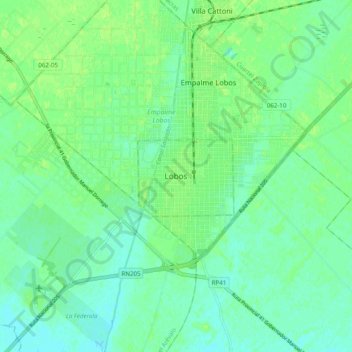
Name: Lobos topographic map, elevation, terrain.
Location: Lobos, Partido de Lobos, Buenos Aires, 7240, Argentina (-35.22563 -59.13784 -35.14563 -59.05784)
Average elevation: 98 ft
Minimum elevation: 79 ft
Maximum elevation: 115 ft
Thank you for supporting this site ❤️
Make a donation
Make a donation
Gear up for your next adventure:
As an Amazon Associate, this site earns from qualifying purchases at no extra cost to you.