
Thank you for supporting this site ❤️
Make a donation
Make a donation
Gear up for your next adventure:
As an Amazon Associate, this site earns from qualifying purchases at no extra cost to you.
Sakher topographic map
Click on the map to display elevation.
Thank you for supporting this site ❤️
Make a donation
Make a donation
Gear up for your next adventure:
As an Amazon Associate, this site earns from qualifying purchases at no extra cost to you.
About this map
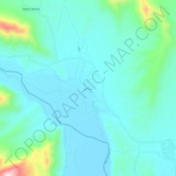
Name: Sakher topographic map, elevation, terrain.
Location: Sakher, Shahidi Hassas, Uruzgan Province, Afghanistan (32.93394 65.52002 32.97394 65.56002)
Average elevation: 3,865 ft
Minimum elevation: 3,648 ft
Maximum elevation: 4,931 ft
Thank you for supporting this site ❤️
Make a donation
Make a donation
Gear up for your next adventure:
As an Amazon Associate, this site earns from qualifying purchases at no extra cost to you.