Geolocate

Antipolo topographic map

Click on the map to display elevation.

About this map
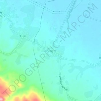
Name: Antipolo topographic map, elevation, terrain.

Location: Antipolo, Minalabac, Camarines Sur, Bicol Region, 4415, Philippines (13.50956 123.14060 13.54956 123.18060)

Average elevation: 75 ft

Minimum elevation: 3 ft

Maximum elevation: 505 ft

Other topographic maps

Click on a map to view its topography, its elevation and its terrain.

Manapao

Philippines > Camarines Sur > Minalabac

Average elevation: 46 ft

Gear up for your next adventure:

🚁Photography Drones - Capture stunning aerial views of landforms and topography
🔌USB Car Charger - Car charger for on‑the‑go power needs
🔥Camping Stove - Portable stove for camping and backcountry cooking
🔪Outdoor Multitools - Essential survival tools for gear repair and field use
🪄Magnetic Compass - Accurate compass for navigation

As an Amazon Associate, this site earns from qualifying purchases at no extra cost to you.