
Kolok River topographic map
Interactive map
Click on the map to display elevation.
About this map
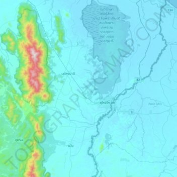
Name: Kolok River topographic map, elevation, terrain.
Location: Kolok River, Rantau Panjang, Pasir Mas, Kelantan, Malaysia (5.86092 101.92120 6.24478 102.09346)
Average elevation: 259 ft
Minimum elevation: 0 ft
Maximum elevation: 3,809 ft
Other topographic maps
Click on a map to view its topography, its elevation and its terrain.
Gual Tinggi
Malaysia > Kelantan > Rantau Panjang > Gual Tinggi
Gual Tinggi, Rantau Panjang, Pasir Mas, Kelantan, Malaysia
Average elevation: 39 ft