
Thank you for supporting this site ❤️
Make a donation
Make a donation
Gear up for your next adventure:
As an Amazon Associate, this site earns from qualifying purchases at no extra cost to you.
HaRoeh topographic map
Click on the map to display elevation.
Thank you for supporting this site ❤️
Make a donation
Make a donation
Gear up for your next adventure:
As an Amazon Associate, this site earns from qualifying purchases at no extra cost to you.
About this map
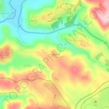
Name: HaRoeh topographic map, elevation, terrain.
Location: HaRoeh, Eli, Area C, Judea and Samaria, Palestinian Territory (32.03457 35.24250 32.07457 35.28250)
Average elevation: 2,228 ft
Minimum elevation: 1,729 ft
Maximum elevation: 2,785 ft
Thank you for supporting this site ❤️
Make a donation
Make a donation
Gear up for your next adventure:
As an Amazon Associate, this site earns from qualifying purchases at no extra cost to you.