Geolocate

Portland topographic map

Click on the map to display elevation.

About this map

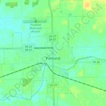
Name: Portland topographic map, elevation, terrain.

Location: Portland, Jay County, Indiana, United States (40.41197 -85.00991 40.46189 -84.95925)

Average elevation: 922 ft

Minimum elevation: 892 ft

Maximum elevation: 971 ft

Jay County trails, hiking, mountain biking, running and outdoor activities

Gear up for your next adventure:

🧣Hiking Neck Gaiter - Multi‑use neck protection for outdoor weather
🏫Relief Map Kits - Hands-on tools for teaching landforms and elevation
🔦Powerful Headlamps - Ultra-bright hands-free lighting for night navigation
🧺Microfiber Travel Towels - Compact and fast-drying towels for trail use
🔦Compact Flashlight - Reliable flashlight for emergencies

As an Amazon Associate, this site earns from qualifying purchases at no extra cost to you.