
Thank you for supporting this site ❤️
Make a donation
Make a donation
Gear up for your next adventure:
As an Amazon Associate, this site earns from qualifying purchases at no extra cost to you.
Nsutam topographic map
Click on the map to display elevation.
Thank you for supporting this site ❤️
Make a donation
Make a donation
Gear up for your next adventure:
As an Amazon Associate, this site earns from qualifying purchases at no extra cost to you.
About this map
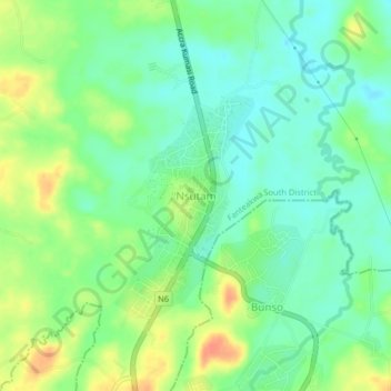
Name: Nsutam topographic map, elevation, terrain.
Location: Nsutam, Fanteakwa South District, Eastern Region, Ghana (6.27875 -0.49343 6.31875 -0.45343)
Average elevation: 682 ft
Minimum elevation: 623 ft
Maximum elevation: 774 ft
Thank you for supporting this site ❤️
Make a donation
Make a donation
Gear up for your next adventure:
As an Amazon Associate, this site earns from qualifying purchases at no extra cost to you.