
Make a donation
Gear up for your next adventure:
As an Amazon Associate, this site earns from qualifying purchases at no extra cost to you.
Oude Pekela topographic map
Click on the map to display elevation.
Make a donation
Gear up for your next adventure:
As an Amazon Associate, this site earns from qualifying purchases at no extra cost to you.
Oude Pekela
Oude Pekela had een levendige Joodse gemeenschap. Tot aan de jaren tachtig van de negentiende eeuw bleef de Joodse gemeente van Oude en Nieuwe Pekela groeien. In 1884 werd er nog een nieuwe synagoge met een ritueel bad en een onderwijzerswoning ingewijd. Op zijn hoogtepunt in 1870 telden beide Pekela's 401 Joden. Er was toen sprake van een uitgebreid verenigingsleven. Daarna daalde het aantal Pekelder Joden als gevolg van de veranderende sociale en economische omstandigheden snel.
Make a donation
Gear up for your next adventure:
As an Amazon Associate, this site earns from qualifying purchases at no extra cost to you.
About this map
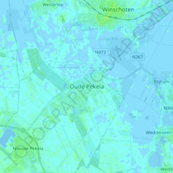
Name: Oude Pekela topographic map, elevation, terrain.
Location: Oude Pekela, Pekela, Groningen, Nederland, 9665, Nederland (53.06735 6.97369 53.14735 7.05369)
Average elevation: 3 ft
Minimum elevation: -13 ft
Maximum elevation: 23 ft
Make a donation
Gear up for your next adventure:
As an Amazon Associate, this site earns from qualifying purchases at no extra cost to you.