Geolocate

Rajula topographic map

Click on the map to display elevation.

About this map

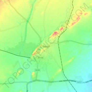
Name: Rajula topographic map, elevation, terrain.

Location: Rajula, Rajula Taluka, Amreli, Gujarat, 364560, India (20.99862 71.40388 21.07862 71.48388)

Average elevation: 125 ft

Minimum elevation: 33 ft

Maximum elevation: 285 ft

Gear up for your next adventure:

🥾Hiking Shoes - Durable and comfortable shoes for trail hiking
⛑️Personal Locator Beacon - Safety beacon for emergencies
🔋Solar Power Banks - Keep your GPS and phone charged in remote wilderness areas
🧤Tactile Hiking Gloves - Keep hands warm while operating GPS and smartphone screens
🔌Solar Panel Charger - Charge gear sustainably outdoors

As an Amazon Associate, this site earns from qualifying purchases at no extra cost to you.