Geolocate

Nile topographic map

Click on the map to display elevation.

About this map

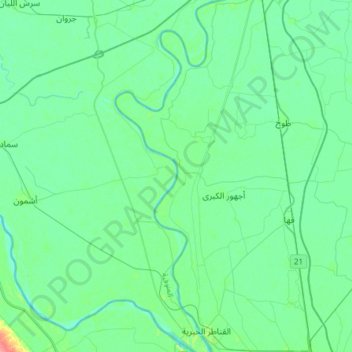
Name: Nile topographic map, elevation, terrain.

Location: Nile, Kafr al Badarinah, Qalyubia Governorate, Egypt (30.18053 31.05326 30.44546 31.14012)

Average elevation: 49 ft

Minimum elevation: 13 ft

Maximum elevation: 213 ft

Gear up for your next adventure:

📡Handheld GPS Device - Reliable handheld GPS for outdoor navigation
🥇GPS Hiking Watch - Multi‑sport GPS watch with navigation and trail tracking
🎒Trekking Poles - Sturdy poles for balance and stability on rough terrain
📱Solar Portable Charger - Solar power bank for charging devices off‑grid
🪶Thermal Camp Blanket - Extra warmth for cold nights

As an Amazon Associate, this site earns from qualifying purchases at no extra cost to you.