
Thank you for supporting this site ❤️
Make a donation
Make a donation
Gear up for your next adventure:
As an Amazon Associate, this site earns from qualifying purchases at no extra cost to you.
Livelli topographic map
Click on the map to display elevation.
Thank you for supporting this site ❤️
Make a donation
Make a donation
Gear up for your next adventure:
As an Amazon Associate, this site earns from qualifying purchases at no extra cost to you.
About this map
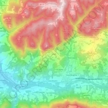
Name: Livelli topographic map, elevation, terrain.
Location: Livelli, Ponte Crenna, Bagnaria, Pavia, Lombardia, 27057, Italia (44.81400 9.12856 44.85400 9.16856)
Average elevation: 1,680 ft
Minimum elevation: 988 ft
Maximum elevation: 2,470 ft
Thank you for supporting this site ❤️
Make a donation
Make a donation
Gear up for your next adventure:
As an Amazon Associate, this site earns from qualifying purchases at no extra cost to you.