
Make a donation
Gear up for your next adventure:
As an Amazon Associate, this site earns from qualifying purchases at no extra cost to you.
Parque del Este topographic map
Click on the map to display elevation.
Make a donation
Gear up for your next adventure:
As an Amazon Associate, this site earns from qualifying purchases at no extra cost to you.
Parque del Este
The park combines three differently designed areas: the first is an open grass field with a gentle undulating topography, the second is a densely forested landscape with meandering pathways, while the third is a series of paved gardens with tiled murals and water works.
Make a donation
Gear up for your next adventure:
As an Amazon Associate, this site earns from qualifying purchases at no extra cost to you.
About this map
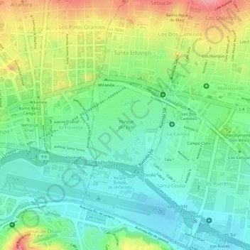
Name: Parque del Este topographic map, elevation, terrain.
Average elevation: 2,871 ft
Minimum elevation: 2,730 ft
Maximum elevation: 3,094 ft
Make a donation
Gear up for your next adventure:
As an Amazon Associate, this site earns from qualifying purchases at no extra cost to you.