
Modautal topographic map
Interactive map
Click on the map to display elevation.
About this map
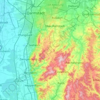
Name: Modautal topographic map, elevation, terrain.
Location: Modautal, Landkreis Darmstadt-Dieburg, Hessen, 64397, Duitsland (49.59341 8.56089 49.91341 8.88089)
Average elevation: 702 ft
Minimum elevation: 282 ft
Maximum elevation: 1,978 ft
Other topographic maps
Click on a map to view its topography, its elevation and its terrain.