Geolocate

Chontali topographic map

Click on the map to display elevation.

About this map

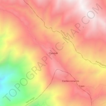
Name: Chontali topographic map, elevation, terrain.

Location: Chontali, Yamango, Morropón, Piura, Perú (-5.11177 -79.70951 -5.07177 -79.66951)

Average elevation: 10,033 ft

Minimum elevation: 7,172 ft

Maximum elevation: 11,526 ft

Gear up for your next adventure:

📶Vehicle Signal Boosters - Improve reception in rural areas while driving to trailheads
🏔️Mountain Trail Maps - High‑detail maps for popular peaks
🥤Water Filter Bottle - All‑in‑one filter bottle for safe hydration
🪶Fire Starter Kit - Reliable fire starter for survival and camping
📡GPS Antenna Upgrade - Enhance GPS reception in remote terrain

As an Amazon Associate, this site earns from qualifying purchases at no extra cost to you.