
Thank you for supporting this site ❤️
Make a donation
Make a donation
Gear up for your next adventure:
As an Amazon Associate, this site earns from qualifying purchases at no extra cost to you.
Bashi topographic map
Click on the map to display elevation.
Thank you for supporting this site ❤️
Make a donation
Make a donation
Gear up for your next adventure:
As an Amazon Associate, this site earns from qualifying purchases at no extra cost to you.
About this map
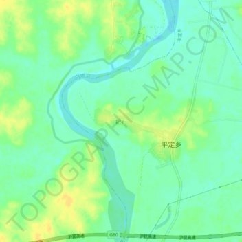
Name: Bashi topographic map, elevation, terrain.
Location: Bashi, Pingding, Yujiang District, Yingtan, Jiangxi, China (28.27800 116.85240 28.31800 116.89240)
Average elevation: 105 ft
Minimum elevation: 69 ft
Maximum elevation: 151 ft
Thank you for supporting this site ❤️
Make a donation
Make a donation
Gear up for your next adventure:
As an Amazon Associate, this site earns from qualifying purchases at no extra cost to you.