
Thank you for supporting this site ❤️
Make a donation
Make a donation
Gear up for your next adventure:
As an Amazon Associate, this site earns from qualifying purchases at no extra cost to you.
Aubin topographic map
Click on the map to display elevation.
Thank you for supporting this site ❤️
Make a donation
Make a donation
Gear up for your next adventure:
As an Amazon Associate, this site earns from qualifying purchases at no extra cost to you.
About this map
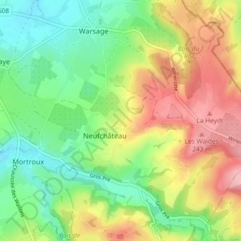
Name: Aubin topographic map, elevation, terrain.
Location: Aubin, Neufchâteau, Dalhem, Liège, Wallonie, 4607, Belgique (50.69918 5.75668 50.73918 5.79668)
Average elevation: 538 ft
Minimum elevation: 325 ft
Maximum elevation: 823 ft
Thank you for supporting this site ❤️
Make a donation
Make a donation
Gear up for your next adventure:
As an Amazon Associate, this site earns from qualifying purchases at no extra cost to you.