Geolocate

Bulihan topographic map

Click on the map to display elevation.

About this map

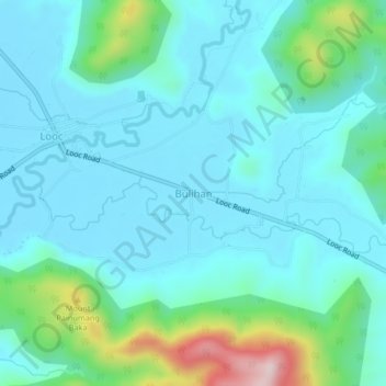
Name: Bulihan topographic map, elevation, terrain.

Location: Bulihan, Nasugbu, Batangas, Calabarzon, 4231, Philippines (14.13518 120.63363 14.17518 120.67363)

Average elevation: 335 ft

Minimum elevation: 26 ft

Maximum elevation: 1,371 ft

Gear up for your next adventure:

🛌Ultralight Sleeping Bags - Compact down bags for cold nights in the wilderness
🛠️Outdoor Gear Repair Kit - Essential tools to fix gear on the trail
📡GPS Antenna Upgrade - Enhance GPS reception in remote terrain
🚑Emergency Bivvies - Heat-reflective sleeping bags for survival situations
💧Water Filtration Bottles - Safely drink from streams and lakes while exploring

As an Amazon Associate, this site earns from qualifying purchases at no extra cost to you.