Geolocate

Plan Fiou topographic map

Click on the map to display elevation.

About this map

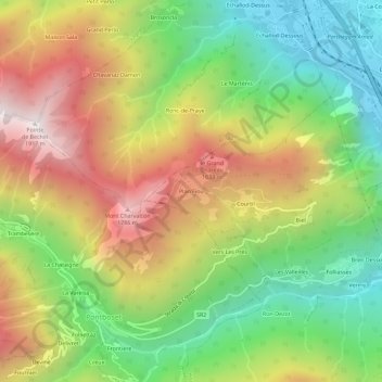
Name: Plan Fiou topographic map, elevation, terrain.

Location: Plan Fiou, Hône, Aosta Valley, Italy (45.60076 7.67951 45.64076 7.71951)

Average elevation: 3,379 ft

Minimum elevation: 1,132 ft

Maximum elevation: 6,175 ft

Gear up for your next adventure:

⛑️Personal Locator Beacon - Safety beacon for emergencies
🌡️Handheld Weather Meters - Measure wind, temp, and pressure for safe mountain travel
🦶Hiking Gaiters - Keep debris and water out of your boots
🌄Hiking Binoculars - Compact binoculars for scenic views and trail spotting
🔭Compact Binoculars - HD vision for scouting terrain and identifying distant landmarks

As an Amazon Associate, this site earns from qualifying purchases at no extra cost to you.