Geolocate

Waldbrunn topographic map

Click on the map to display elevation.

About this map

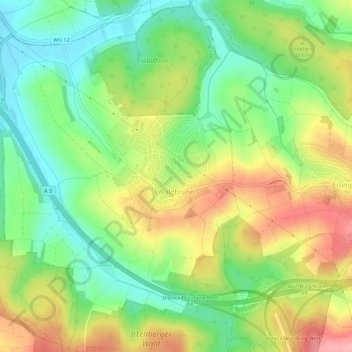
Name: Waldbrunn topographic map, elevation, terrain.

Location: Waldbrunn, Landkreis Würzburg, Bavaria, 97295, Germany (49.74200 9.76616 49.77833 9.81373)

Average elevation: 978 ft

Minimum elevation: 804 ft

Maximum elevation: 1,204 ft

Other topographic maps

Click on a map to view its topography, its elevation and its terrain.

Obereisenheim

Germany > Bavaria > Landkreis Würzburg

Average elevation: 804 ft

Gear up for your next adventure:

🎒Waterproof Dry Bags - Keep your electronics and maps dry inside your pack
🏔️Mountain Trail Maps - High‑detail maps for popular peaks
🧭GPS Watch Accessories - Bands and chargers for GPS watches
🧥Men's Rain Shells - Premium waterproof and breathable jackets for mountain weather
🧼Biodegradable Camping Soap - Eco‑friendly soap for outdoor hygiene

As an Amazon Associate, this site earns from qualifying purchases at no extra cost to you.