Geolocate

Heppeneert topographic map

Click on the map to display elevation.

About this map

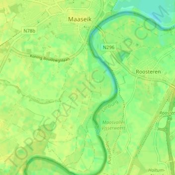
Name: Heppeneert topographic map, elevation, terrain.

Location: Heppeneert, Maaseik, Limburg, Vlaanderen, 3680, België (51.05905 5.77453 51.09905 5.81453)

Average elevation: 98 ft

Minimum elevation: 66 ft

Maximum elevation: 115 ft

Gear up for your next adventure:

🧤Hiking Gloves - Protective gloves for rugged trails
👖Convertible Hiking Pants - Versatile zip-off pants for changing altitudes and temperatures
📻Weather Alert Radios - Stay informed of storm risks while off-the-grid
🏥Hiking First Aid Kits - Comprehensive medical kits for remote trail injuries
🩹Survival Bandages - High‑quality bandages for emergencies

As an Amazon Associate, this site earns from qualifying purchases at no extra cost to you.