
Thank you for supporting this site ❤️
Make a donation
Make a donation
Gear up for your next adventure:
As an Amazon Associate, this site earns from qualifying purchases at no extra cost to you.
Eripol topographic map
Click on the map to display elevation.
Thank you for supporting this site ❤️
Make a donation
Make a donation
Gear up for your next adventure:
As an Amazon Associate, this site earns from qualifying purchases at no extra cost to you.
About this map
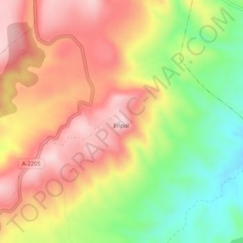
Name: Eripol topographic map, elevation, terrain.
Location: Eripol, Bárcabo, Sobrarbe, Huesca, Aragón, 22149, España (42.27912 0.08475 42.27922 0.08485)
Average elevation: 2,526 ft
Minimum elevation: 1,988 ft
Maximum elevation: 2,972 ft
Thank you for supporting this site ❤️
Make a donation
Make a donation
Gear up for your next adventure:
As an Amazon Associate, this site earns from qualifying purchases at no extra cost to you.