Geolocate

Zwin topographic map

Click on the map to display elevation.

About this map

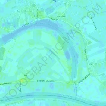
Name: Zwin topographic map, elevation, terrain.

Location: Zwin, Bern, Zaltbommel, Gelderland, Netherlands (51.75218 5.17268 51.75546 5.17920)

Average elevation: 10 ft

Minimum elevation: -13 ft

Maximum elevation: 36 ft

Gear up for your next adventure:

🧴Hand Sanitizer - Keep hands clean while hiking
🖼️Topo Map Wall Art - Decorative topographic prints of famous peaks and regions
🏔️Mountain Trail Maps - High‑detail maps for popular peaks
🧤Tactile Hiking Gloves - Keep hands warm while operating GPS and smartphone screens
🥾Men's Hiking Boots - Durable, waterproof footwear for rugged terrain and steep inclines

As an Amazon Associate, this site earns from qualifying purchases at no extra cost to you.