
Thank you for supporting this site ❤️
Make a donation
Make a donation
Gear up for your next adventure:
As an Amazon Associate, this site earns from qualifying purchases at no extra cost to you.
IJzerlo topographic map
Click on the map to display elevation.
Thank you for supporting this site ❤️
Make a donation
Make a donation
Gear up for your next adventure:
As an Amazon Associate, this site earns from qualifying purchases at no extra cost to you.
About this map
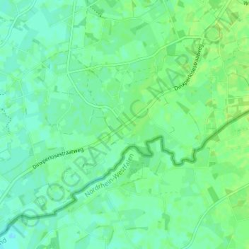
Name: IJzerlo topographic map, elevation, terrain.
Location: IJzerlo, Aalten, Gelderland, Nederland, 7122 JR, Nederland (51.86812 6.52271 51.90812 6.56271)
Average elevation: 75 ft
Minimum elevation: 56 ft
Maximum elevation: 92 ft
Thank you for supporting this site ❤️
Make a donation
Make a donation
Gear up for your next adventure:
As an Amazon Associate, this site earns from qualifying purchases at no extra cost to you.