

Aligarh topographic map
Click on the map to display elevation.
Aligarh
Aligarh is located at the coordinates 27°53′N 78°05′E / 27.88°N 78.08°E / 27.88; 78.08. It has an elevation of approximately 178 metres (587 feet). The city is in the middle portion of the doab, the land between the Ganges and the Yamuna rivers. The Grand Trunk Road passes through it via NH-91 is 134 km from capital of India.
About this map
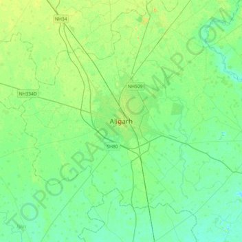
Name: Aligarh topographic map, elevation, terrain.
Location: Aligarh, Koil, Aligarh, Uttar Pradesh, 202001, India (27.72154 77.90902 28.04154 78.22902)
Average elevation: 607 ft
Minimum elevation: 581 ft
Maximum elevation: 669 ft
Other topographic maps
Click on a map to view its topography, its elevation and its terrain.
