
Джогино topographic map
Interactive map
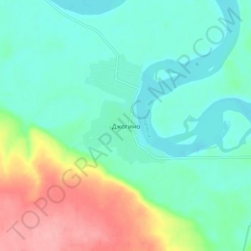
Click on the map to display elevation.
About this map
Name: Джогино topographic map, elevation, terrain.
Average elevation: 715 ft
Minimum elevation: 620 ft
Maximum elevation: 948 ft
Other topographic maps
Click on a map to view its topography, its elevation and its terrain.
Джогино
Russia > Irkutsk Oblast > Джогино
Джогино, Tayshetsky Rayon, Irkutsk Oblast, Siberian Federal District, Russia
Average elevation: 679 ft