
Isla de Lobos topographic map
Interactive map
Click on the map to display elevation.
About this map
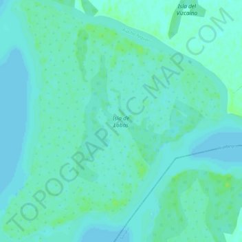
Name: Isla de Lobos topographic map, elevation, terrain.
Location: Isla de Lobos, Río Negro, Uruguay (-33.40551 -58.42325 -33.36005 -58.37362)
Average elevation: 10 ft
Minimum elevation: -3 ft
Maximum elevation: 30 ft
Other topographic maps
Click on a map to view its topography, its elevation and its terrain.
San Javier
Uruguay > Río Negro > San Javier
San Javier, Río Negro, 65001, Uruguay
Average elevation: 26 ft