
Make a donation
Gear up for your next adventure:
As an Amazon Associate, this site earns from qualifying purchases at no extra cost to you.
Ash Township topographic map
Click on the map to display elevation.
Make a donation
Gear up for your next adventure:
As an Amazon Associate, this site earns from qualifying purchases at no extra cost to you.
About this map
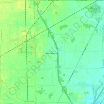
Name: Ash Township topographic map, elevation, terrain.
Location: Ash Township, Monroe County, Michigan, 48117, United States (42.00642 -83.42076 42.09425 -83.30213)
Average elevation: 607 ft
Minimum elevation: 584 ft
Maximum elevation: 633 ft
Monroe County trails, hiking, mountain biking, running and outdoor activities
Make a donation
Gear up for your next adventure:
As an Amazon Associate, this site earns from qualifying purchases at no extra cost to you.
Other topographic maps
Click on a map to view its topography, its elevation and its terrain.
Berlin Township
United States > Michigan > Monroe County > Berlin Township > Berlin Township
Average elevation: 581 ft