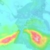
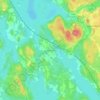
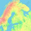
Lapland topographic map
Click on the map to display elevation.
Lapland
Lapland is the largest and northernmost region of Finland. The 21 municipalities in the region cooperate in a Regional Council. Lapland borders the Finnish region of North Ostrobothnia in the south. It also borders the Gulf of Bothnia and the Norrbotten County in Sweden, Finnmark County and the Troms County in Norway, and Murmansk Oblast and the Republic of Karelia in Russia. The topography of Lapland varies from vast mires and forests in the south to fells in the north. The Arctic Circle crosses Lapland, so polar phenomena such as the midnight sun, the polar night and the northern lights can be viewed in this region.
About this map
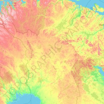
Name: Lapland topographic map, elevation, terrain.
Location: Lapland, Mainland Finland, Finland (65.29248 20.54864 70.09229 30.01706)
Average elevation: 817 ft
Minimum elevation: -7 ft
Maximum elevation: 4,409 ft
Other topographic maps
Click on a map to view its topography, its elevation and its terrain.


Kilpisjärvi
Although Kilpisjärvi is one of the largest villages in Enontekiö, it is still quite small. In 2000 its population was recorded as 114. Like most Sami villages, Kilpisjärvi is built mainly around one major road, Käsivarrentie, or the "Arm Road" and Neljäntuulentie, or the "Four Winds' Road" — also known…
Average elevation: 1,729 ft