
Duston topographic map
Click on the map to display elevation.
About this map
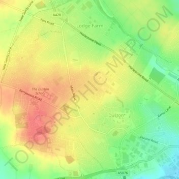
Name: Duston topographic map, elevation, terrain.
Location: Duston, West Northamptonshire, England, United Kingdom (52.23708 -0.96830 52.26194 -0.92370)
Average elevation: 318 ft
Minimum elevation: 200 ft
Maximum elevation: 417 ft