Geolocate

Pali topographic map

Click on the map to display elevation.

About this map

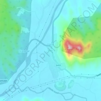
Name: Pali topographic map, elevation, terrain.

Location: Pali, Sudhagad, Raigad, Maharashtra, 410205, India (18.52164 73.19977 18.56164 73.23977)

Average elevation: 174 ft

Minimum elevation: 26 ft

Maximum elevation: 1,109 ft

Gear up for your next adventure:

🔌Solar Panel Charger - Charge gear sustainably outdoors
🔋Solar Power Banks - Keep your GPS and phone charged in remote wilderness areas
🎒Trekking Poles - Sturdy poles for balance and stability on rough terrain
🔥Camping Stove - Portable stove for camping and backcountry cooking
🛰️Satellite Messengers - Emergency SOS and two-way messaging for off-grid adventures

As an Amazon Associate, this site earns from qualifying purchases at no extra cost to you.