
Cathays topographic map
Click on the map to display elevation.
About this map
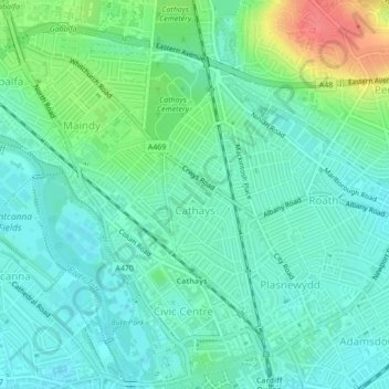
Name: Cathays topographic map, elevation, terrain.
Location: Cathays, Cardiff, Wales, United Kingdom (51.48373 -3.19309 51.50457 -3.17089)
Average elevation: 69 ft
Minimum elevation: 16 ft
Maximum elevation: 217 ft
Other topographic maps
Click on a map to view its topography, its elevation and its terrain.