Geolocate

Devoe topographic map

Click on the map to display elevation.

About this map

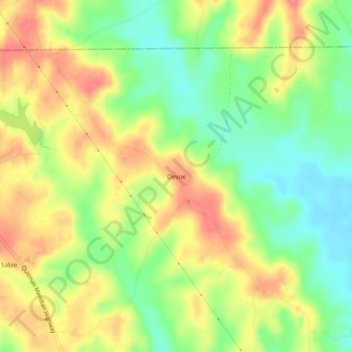
Name: Devoe topographic map, elevation, terrain.

Location: Devoe, Clarke County, Mississippi, United States (32.19126 -88.68532 32.23126 -88.64532)

Average elevation: 446 ft

Minimum elevation: 341 ft

Maximum elevation: 545 ft

Clarke County trails, hiking, mountain biking, running and outdoor activities

Gear up for your next adventure:

🪶Wildlife Field Guides - Learn animal tracking and species ID
🛡️Insect Repellent - Protection against bugs during outdoor activities
🪶Thermal Camp Blanket - Extra warmth for cold nights
🪵Folding Camp Saw - Compact saw for wood and campsite work
📡GPS Antenna Upgrade - Enhance GPS reception in remote terrain

As an Amazon Associate, this site earns from qualifying purchases at no extra cost to you.