
Make a donation
Gear up for your next adventure:
As an Amazon Associate, this site earns from qualifying purchases at no extra cost to you.
Brodhead topographic map
Click on the map to display elevation.
Make a donation
Gear up for your next adventure:
As an Amazon Associate, this site earns from qualifying purchases at no extra cost to you.
About this map
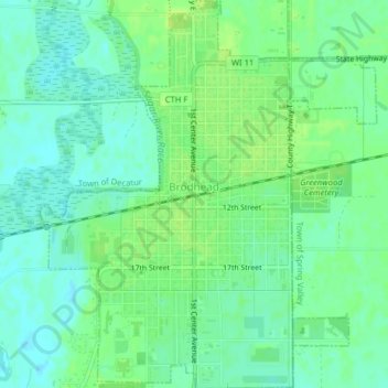
Name: Brodhead topographic map, elevation, terrain.
Location: Brodhead, Green County, Wisconsin, United States (42.60449 -89.39261 42.63372 -89.35811)
Average elevation: 791 ft
Minimum elevation: 768 ft
Maximum elevation: 814 ft
Green County trails, hiking, mountain biking, running and outdoor activities
Make a donation
Gear up for your next adventure:
As an Amazon Associate, this site earns from qualifying purchases at no extra cost to you.
Other topographic maps
Click on a map to view its topography, its elevation and its terrain.
Liberty Creek State Wildlife Area
United States > Wisconsin > Green County > Town of Albany
Average elevation: 863 ft
Make a donation
Gear up for your next adventure:
As an Amazon Associate, this site earns from qualifying purchases at no extra cost to you.